
Trips · Orange County
Ortega Highway to Lake Elsinore
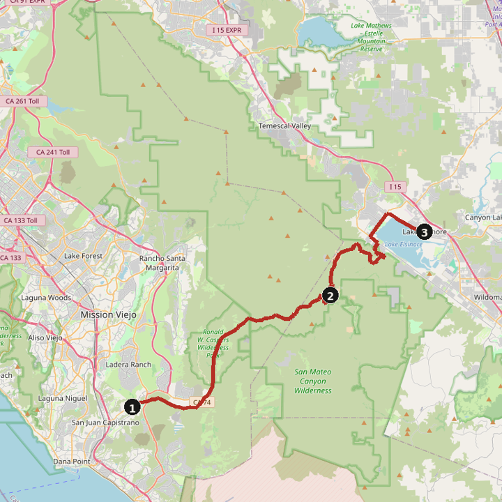
Ortega Highway (CA-74) from San Juan Capistrano through the Santa Ana Mountains to Lake Elsinore. The Cook's Corner ride is the separate Santiago Canyon piece.
31.7 miles · 48 min
Directions
By day
Day 1
31.7 miles · 48 min
Ortega Highway (CA-74)
Miles and times are estimates. Map data © OpenStreetMap contributors.